
Which hurricane holes do insurers accept?
No insurer publishes a list of accepted hurricane holes, because a signed hurricane plan is a condition precedent, agreed by underwriters before cover is granted. So the destination has to be demonstrable, not approved: reachable and secured inside the National Hurricane Center's 36-hour warning, with capacity for your length and displacement, and a named person able to act.
What a named-windstorm condition actually requires of a storm destination, from the policy wording and the quote questionnaire we hold.
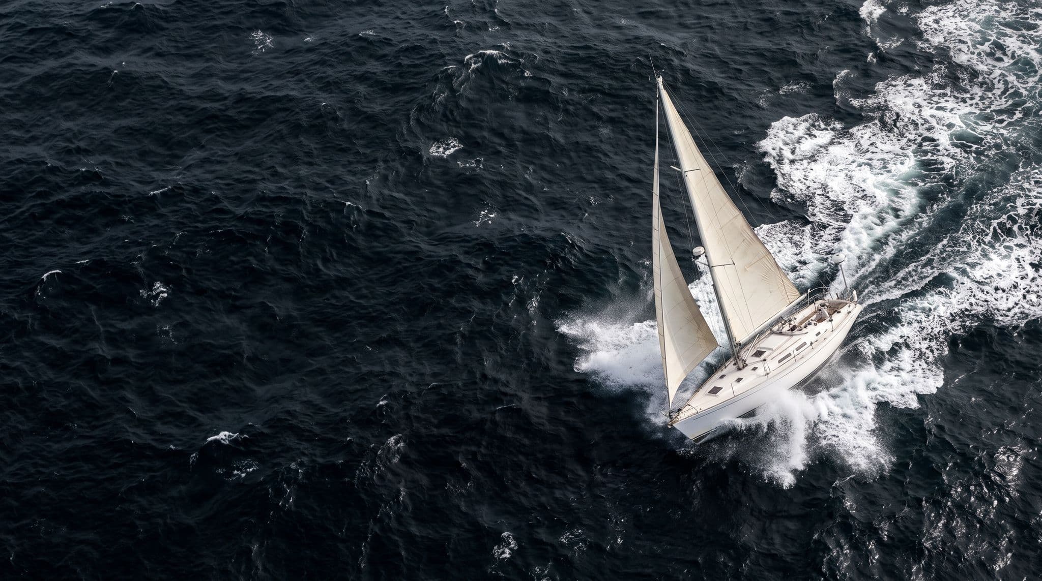
No list
No insurer publishes accepted hurricane holes. Acceptance is decided per boat
36 hours
The hurricane warning window a destination must be reachable and secured inside
Before cover
The signed hurricane plan is a condition precedent, agreed in advance
0 of 240
Refuges in our dataset with a verified maximum displacement
What this page decides
Not which bay is best. That is seamanship and the forums answer it well. This is the insurance question underneath it: what your plan has to be able to show about the place you picked.
Key takeaways
- No insurer keeps a list of accepted hurricane holes. Acceptance is decided per boat, on the plan you submit.
- The signed hurricane plan is a condition precedent agreed before cover is granted, not a form filed afterwards. That is the Hurricane Plan Clause in the wording we hold.
- Three properties make a destination demonstrable: you can reach it and secure the boat inside the 36-hour hurricane warning, it has capacity for your length and displacement, and somebody ashore is authorised to act.
- A yard's own "insurance approved" is the storer's marketing. It is not your underwriter's agreement.
- Named-windstorm cover runs with that signed plan, and its deductible comes off the hull value shown on your Schedule. The figure does not move because you picked a better bay.
The numbers this decision turns on
36 hours
Lead time at which a hurricane warning is issued, and the point at which all preparations should be complete.
National Weather Service48 hours
Lead time at which a hurricane watch is issued, because preparing may not be safe once tropical-storm-force winds arrive.
National Weather Service6 name lists
Atlantic storm name lists the National Hurricane Center rotates, recycled every six years. The trigger is a published list, not a wind speed.
National Hurricane Center0 of 240
Storm refuges and yards in our dataset carrying a verified maximum displacement, the number a capacity condition actually turns on.
Our refuge dataset, last verified 31 August 2026
1 Jul to 1 Nov
The quote questionnaire's Caribbean screening window, which is not the Atlantic hurricane season of 1 June to 30 November.
Quote questionnaire, held on file
Is there a list of approved hurricane holes?
No, and the term itself is the first thing to get straight. A hurricane hole is a naturally sheltered creek, bay or mangrove basin protected on most sides, which makes it a seamanship category rather than an insurance one. No insurer designates them, and there is no list. We hold the London-market policy wording, and it names no bay, no yard and no island as accepted or refused. What gets assessed is your plan, per enquiry, and the answer is recorded on your own Confirmation of Cover and Schedule rather than in a public register.
A list would only tell you where other people's boats were allowed to sit. A plan tells you what your boat has to be able to do.
So the question that matters is what your plan can demonstrate about the hole you picked. Underwriters test three things, and one document fixes your limits.
Cruisers weigh the same candidates every season: Grenada, Trinidad, the ABC islands, Puerto Rico, the British Virgin Islands. Naming them is geography, not endorsement. We are not telling you any of them is accepted, because no such statement exists to make.
Written for an owner keeping a boat in the Caribbean through a hurricane season. This guide explains how a destination condition works. It is not financial advice, and it is not a quote. Premium effects are case-specific and this page does not estimate them.
What does a hurricane plan have to be, before you have cover at all?
Agreed in advance, in writing, and signed. The Hurricane Plan Clause in the wording we hold puts it plainly.
It is a condition precedent to liability under this Policy that a signed and dated Hurricane Plan is to be agreed by underwriters prior to cover being granted for Named Windstorm coverage.
Condition precedent is a term of art, and it bites harder than it looks. Not a discount for good behaviour. Not paperwork you can produce later. If the plan was never agreed, the named-windstorm cover was never granted in the first place. After the storm there is nothing to argue about, because the thing you would be arguing about did not attach.
What triggers it is naming, not geography. The wording defines a named windstorm by reference to storms named by the National Oceanic and Atmospheric Administration. So the trigger is a published list, not a wind speed and not a latitude. The National Hurricane Center draws Atlantic names from six rotating lists recycled every six years. Elsewhere in the market the same peril is called a named storm deductible.

Owners ask us which bay will be accepted, and that is not the question underwriters answer. We built the plan generator because the plan is what gets agreed, and we send it in with the submission.
Our named-windstorm deductible guide covers the clause itself in depth. This page tests destinations against it.
Can you reach the hurricane hole inside the warning window?
Only if the passage and the securing both fit inside about 36 hours from where the boat actually lies. That is the single most common reason a plausible-looking plan does not work.
The National Weather Service issues a hurricane watch 48 hours before it expects tropical-storm-force winds, because preparation may not be safe once those winds arrive. The hurricane warning follows at 36 hours, and at that point all preparations should be complete.
NOAA's hurricane preparedness guidelines for marinas go further. Boats must be secured by the time a warning is issued. Named actions belong in the window 72 to 36 hours before an evacuation call, and others at least 24 hours before landfall. The document adds the detail that undoes most napkin arithmetic: those timetables refer to the landfall of the eye, and severe weather arrives significantly before it.
| Stage | Lead time | What it means for a destination |
|---|---|---|
| Hurricane watch | 48 hours | Decide and move. Preparing later may not be safe |
| Hurricane warning | 36 hours | All preparations should be complete |
| Secured by | Warning issuance | The boat is already tied, chocked or hauled |
| Eye arrival | After the clock | Severe weather significantly precedes it |
Work it from where the boat is now. Run your own numbers, not ours. Two hundred miles at six knots is 33 hours of passage before a single line is doubled, and that assumes you left on the watch and not the warning. A refuge that is perfect and unreachable is not a plan. One brokerage's own guidance puts the minimum safe margin at 24 hours, the same conclusion reached from a different direction.
Can the destination take your boat's length and displacement?
Yes or no, and the public record is far worse at answering it than owners expect. Lift tonnage is not maximum length overall, and displacement is the number that actually decides whether a yard can take you.
We built a dataset of Caribbean storm refuges and haul-out yards to see how answerable this is. It is not very. Of 240 rows, 21 carry a verified travel-lift tonnage, 11 carry a verified berth capacity, 6 carry a verified maximum length, and none carries a verified maximum displacement. Last verified 31 August 2026.
| Attribute | Rows with a verified value | Coverage |
|---|---|---|
| Travel-lift tonnage | 21 of 240 | 8.8% |
| Berth or hardstanding capacity | 11 of 240 | 4.6% |
| Maximum length overall | 6 of 240 | 2.5% |
| Maximum displacement | 0 of 240 | 0% |
| Tie-down method, strap or pin | 19 of 240 | 7.9% |
| Mast-removal policy | 4 of 240 | 1.7% |
| Recorded as satisfying a plan | 0 of 240 | 0% |
Inside the box that matters for this question, 46 of the refuges sit across 14 countries. That is a count of places, not of confirmed capacity, and the table above is why we say it that way.
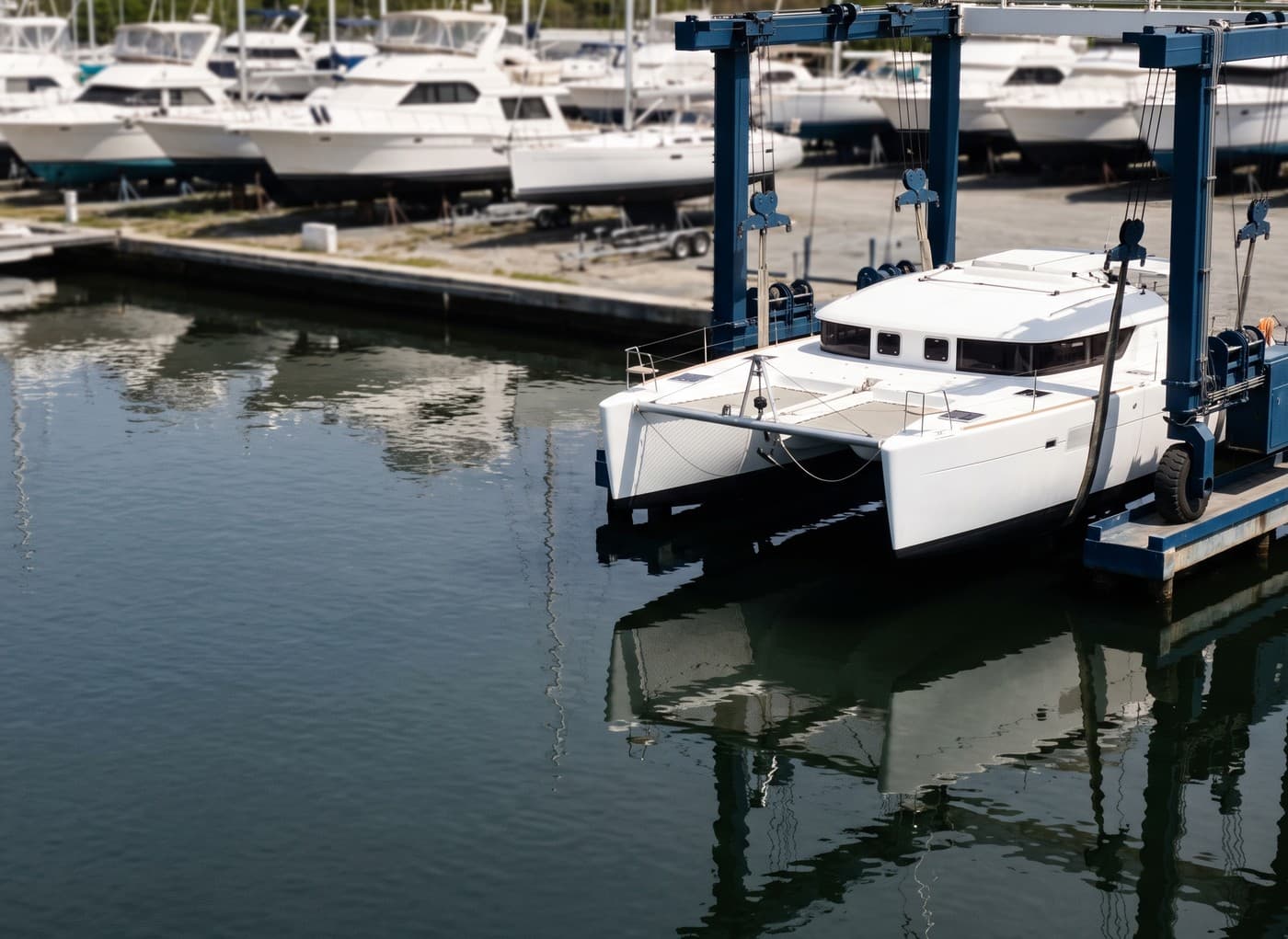
The maintained 23-yard comparison table at Caribbean Compass carries lift tonnage, tie-downs and mast policy for the Eastern Caribbean, and it is the best public source we found. Read it for tonnage. Then ring the yard and ask what it will take at your displacement, because that is the number nobody publishes.
The standard forum answer to this question is Cartagena. Cartagena is in Colombia, which puts it inside a clause you want to read before you sail south. The clause covering Cuba, Colombia, Venezuela and Haiti doubles all deductibles in those waters, excludes confiscation, excludes piracy, and excludes theft unless the vessel is moored in a commercial marina previously agreed in writing by underwriters. Cover is placeable there on those modified terms. It is not unavailable. Three of the 46 holes inside the box are in Cuba or Haiti. We cover what sailing south to Cartagena does to your terms in full separately.
Place counts derived from the noForeignLand community map, read 31 August 2026, with yard attributes second-sourced per row.
Who will be there, and are they authorised to act?
Somebody ashore, named in the plan, with access and authority. Not you, if you will be in another hemisphere in September, and not the crew, because nobody is aboard.
NOAA's hurricane preparedness guidelines for marinas are blunt about it, and their procedures are noted as accepted by FEMA. The owner may not be available when a storm threatens. So an alternate caretaker should be named, or the marina should be contractually authorised to carry out the owner's plan. And the line that settles the question owners keep asking: no one should stay aboard during a hurricane.
That rules out the most popular informal plan on the dock. It is also the gap in plans that otherwise read well: the destination is sound, the ground tackle is right, and there is nobody within 2,000 miles who can legally move the boat or cut a line.
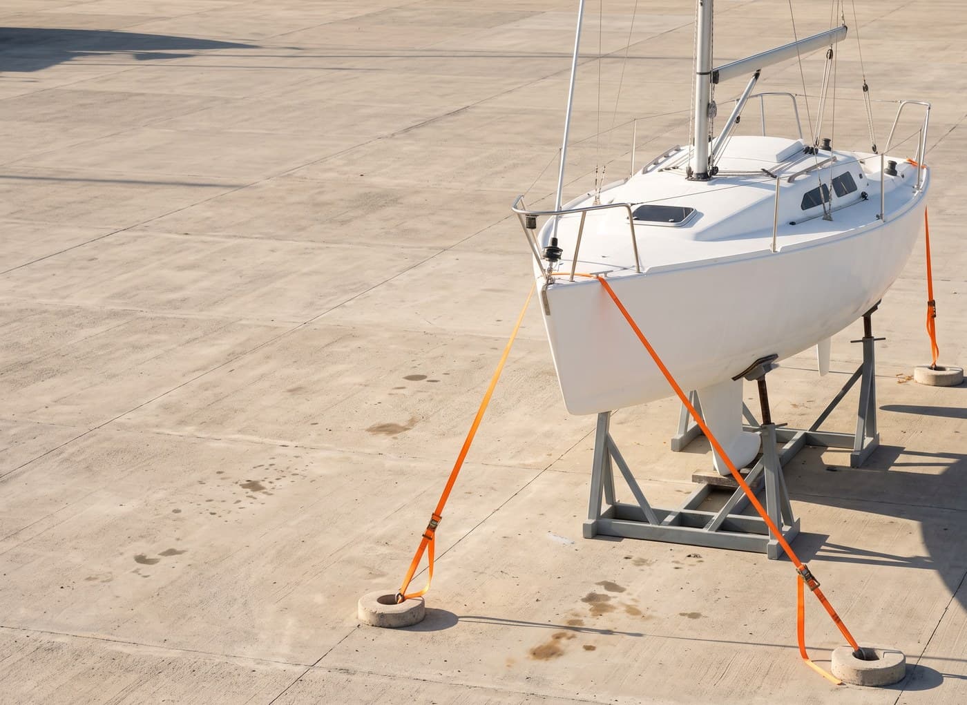
Once your boat is in the yard's custody, a different set of clauses takes over, and they are set out in what a boatyard's storage contract does to your own cover: the hold-harmless that reaches the securing method, the subrogation waiver, and what the policy says when a yard asks to be named on it.
Is the space booked, or only chosen?
Booked, with a haul-out contract, or it is not a destination. A plan names the exact facility, and exact means a named place that has agreed to take you on stated terms.
Southern yards fill months ahead of the season, and a plan naming a full yard is a plan that cannot be executed. That is why our boat hurricane plan generator asks whether the space is contracted, as a straight yes or no. Terms differ too. The Caribbean Compass table shows contractor and liveaboard policies varying yard by yard, so booked means booked on conditions you have read.
Shortlisting the candidates is a different job. A directory of refuges and yards is the instrument to shortlist candidate refuges, and it sits outside this guide.
Is a yard's own "insurance approved" your underwriter's agreement?
No. The party being paid to store your boat is not the party that pays your claim, and only one of them can agree your plan.
The phrase circulates widely. A community cruising blog reports that most yards have insurance approved hurricane cradles, and Google's own AI Overview has repeated "insurance-approved hurricane cradles and tie-downs" back to searchers as guidance. Neither names an insurer. Neither can, because no insurer issued the approval being described.
Under the wording we hold, the plan must be agreed by underwriters before cover is granted. A yard cannot grant that on your behalf, in advance or afterwards. Its cradles may well be excellent, and that is a question about engineering. The one you need answered is a question about consent.
One broker in this market states that its clients who suffered hurricane total losses were, almost without exception, in a hurricane hole when the damage occurred. That is one firm's claim experience, not a statistic, and we cite it as such. It is still a useful corrective to the idea that a sheltered bay is a safe one.
Our own dataset says the same thing. Across all 240 rows, not one is recorded as satisfying a plan, because nobody, ourselves included, can source that answer place by place.
Does a safer hurricane hole reduce your deductible?
No. Named-windstorm cover runs with a signed hurricane plan agreed by underwriters in advance, and the deductible for that peril is 10% of the hull value shown on your Schedule. It is a percentage of an agreed number on a document, so it is the same figure whether the boat rode out the season in a mangrove creek or on stands in a yard.
What the destination does change matters more: the probability that you claim at all, and whether cover exists in the first place. Those are the levers. The deductible is not one of them.
The same 10% that runs with the signed plan also applies to a total loss, including actual, constructive and compromised total loss. Our named-windstorm deductible guide works that through with the arithmetic.
When an owner asks whether a better anchorage buys them a smaller deductible, we go to the clause rather than to what the market says about it, and the clause ties the figure to the value on the Schedule, not to the place.
Percentage-of-value storm deductibles are a recognised regulatory concept, but the ranges published elsewhere are US property figures, not marine facility terms. A legal publisher gives 2%, 5% or 10% pinned to the Gulf Coast. An agency gives 5% to 10% for Florida. None of them mentions total loss.
Is there a latitude insurers use, and is it your navigational limit?
Yes, a rectangle exists, and no, it is not your navigational limit. Those two facts get fused constantly, and separating them is the most useful thing on this page. Three documents, three different jobs.
| Document | What the latitude does there | What it is not |
|---|---|---|
| Quote questionnaire | A yes or no screening question, 12°40'N to 23°30'N and 55°W to 85°W, 1 July to 1 November. It rates the risk before terms are offered | Not an exclusion, not a limit, not a promise |
| Policy wording | Nothing. The peril is defined by NOAA naming with no geography in it, and navigational limits are only all waters as limited and shown in the Schedule or amended by endorsement | Not a box. The wording draws none |
| Your Schedule or Confirmation of Cover | The boundary that actually binds you | Not a general market rule. It is yours |
The proof that the questionnaire rectangle rates rather than restricts sits one line below it. The same form asks a parallel South Pacific question, 5°S to 34°S and 154°E to 150°W, for 1 November to 30 April. A chain applying a hurricane boundary does not also apply a cyclone boundary in the opposite hemisphere with inverted dates. Two rectangles with opposite seasons are exposure questions.
The reader making this mistake is not being careless. On the questionnaire, both rectangles sit under a heading reading NAVIGATION INFORMATION, one line beneath a field reading WATERS TO BE NAVIGATED. The document's own layout invites exactly the reading we are correcting.
Keep the dates apart too. The questionnaire's screening window runs 1 July to 1 November. The Atlantic hurricane season runs 1 June to 30 November. Two windows, two purposes: one rates a risk, the other describes the weather.
What the rest of the market publishes. Published numbers disagree, and that is the real state of this question. All At Sea writes south of roughly 12°40'N as seamanship advice. A legal publisher gives about 12°N to 31°N and 30°W to 100°W while stating that each insurer draws its own boundaries. A boat builder's page gives south of 10 degrees north latitude and mis-states its own units in the same sentence. A cruising magazine says only that some policies propose a latitude box. No two agree, and none is sourced to an underwriter.
Read your Schedule, not a forum post. For the season and the box geography, our Caribbean hurricane season guide is the page you want. This one is about the insurance decision, not the weather.
What changed after Hurricane Beryl, and what did not?
The mechanism did not change. The conversation did.
A widely read 2026 Caribbean cruising guide reports that some insurance companies that used to allow storage in Grenada may no longer, after Hurricane Beryl crossed the island in July 2024. Read that claim carefully. No insurer is named, no source is given, no date is attached, and it is written as a possibility, not a fact. We repeat it here to describe it, not to endorse it.
What we can state is narrower. Nothing changed on the facility we place through. No destination was added to a list or removed from one, because there is no list. Acceptance still runs through the same signed plan agreed in advance that it did before July 2024.
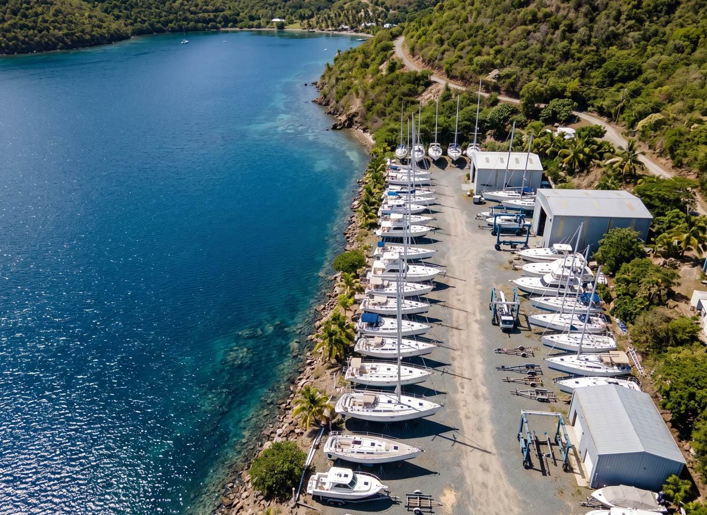
Beryl did demonstrate one thing to carry with you. Boats that were ashore, chocked and strapped were still lost. Being secured is not the same as being safe, which is why the test is what your plan can demonstrate, not where the boat is standing.
That test applies once you have decided to keep the boat in the region at all. The decision before it, whether to haul out, stay afloat or sail south, turns on a different clause in each case and is worth settling first.
Frequently asked questions
1.What is a hurricane hole?
+
A naturally sheltered creek, bay or mangrove basin protected on most sides, where boats ride out storms. It is a seamanship category rather than an insurance one. No insurer designates hurricane holes, and under the wording we hold it is simply one of the three destination types a plan can name, alongside a haul-out yard and a berth.
2.Does boat insurance cover hurricane damage?
+
Yes, where named-windstorm cover was granted, and it is granted only against a signed hurricane plan agreed by underwriters beforehand. The deductible for that peril is 10% of the hull value shown on your Schedule.
3.What happens if I never sent in a hurricane plan?
+
Then the condition precedent was not satisfied and the named-windstorm cover was never granted. This is different from having a plan that underwriters queried. An absent plan is not a late plan, and it cannot be cured after a storm is named.
4.Do I need written approval for my hurricane hole?
+
You need an agreed plan, which is a stronger and more useful thing than approval of a place. The plan is signed, dated and agreed before cover is granted, not after you arrive and not at claim time. If you have that, you do not need a separate blessing for the bay.
5.Can I leave the boat in the water instead of hauling out?
+
The wording names no destination type, so it does not require hauling out in itself. Your plan names a destination and that destination has to be demonstrable either way: reachable in the warning window, able to take the boat, and attended by somebody authorised to act.
6.Can somebody else be responsible for my boat if I fly home?
+
Yes, and NOAA's marina preparedness guidelines say to name an alternate caretaker or have the facility contractually authorised to carry out your plan. Nobody stays aboard during a hurricane. A plan that names a destination but nobody to act is not a complete plan.
7.What are the insurance requirements for a hurricane hole?
+
There is no separate set of hurricane hole insurance requirements to satisfy. There is one requirement, and it covers every destination type equally: a signed hurricane plan agreed by underwriters before cover is granted, naming a destination your plan can show is reachable in the warning window, able to take the boat, and attended by somebody authorised to act.
8.What are the common exclusions from boat insurance?
+
Too many to cover on a page about a destination condition. Our guide to what yacht insurance does not cover sets them out by policy section.
Sources and documents
- London-market yacht policy wording, Hurricane Plan Clause, and the named windstorm definition and navigational limits in the same wording. Held on file; quoted by clause name.
- The quote questionnaire's Caribbean and South Pacific screening rectangles. Held on file.
- National Weather Service, hurricane watch and warning lead times. weather.gov, read 31 August 2026.
- NOAA, Hurricane Preparedness Guidelines for Marinas, procedures noted as accepted by FEMA. Read 31 August 2026.
- National Hurricane Center, Atlantic storm naming and season dates. Read 31 August 2026.
- National Association of Insurance Commissioners, hurricane deductibles. Read 31 August 2026.
- Caribbean Compass, Eastern Caribbean haul-out comparison table, updated for 2026. Read 31 August 2026.
- Our storm refuge and haul-out dataset, 240 rows, last verified 31 August 2026.
World Yacht Insurance is a yacht-insurance introducer arranging hull and liability cover up to $5M for sail and motor yachts worldwide, including the Caribbean, placed in the London market through a Lloyd's-accredited broker.
Reviewed by Costas Matheou, licensed insurance agent.
Coverage terms, premiums and deductibles on this page are indicative and not financial advice. Cover is subject to underwriting, survey and the policy wording.
Build the plan, then pick the destination
The destination is one field in a document that has to be agreed before your cover attaches. Our hurricane plan generator writes it in the format underwriters expect, and you can send it with your submission.
- No obligation
- every underwriting question asked upfront
- a licensed Cyprus agent reviews every enquiry
Also on WhatsApp, Telegram and Viber